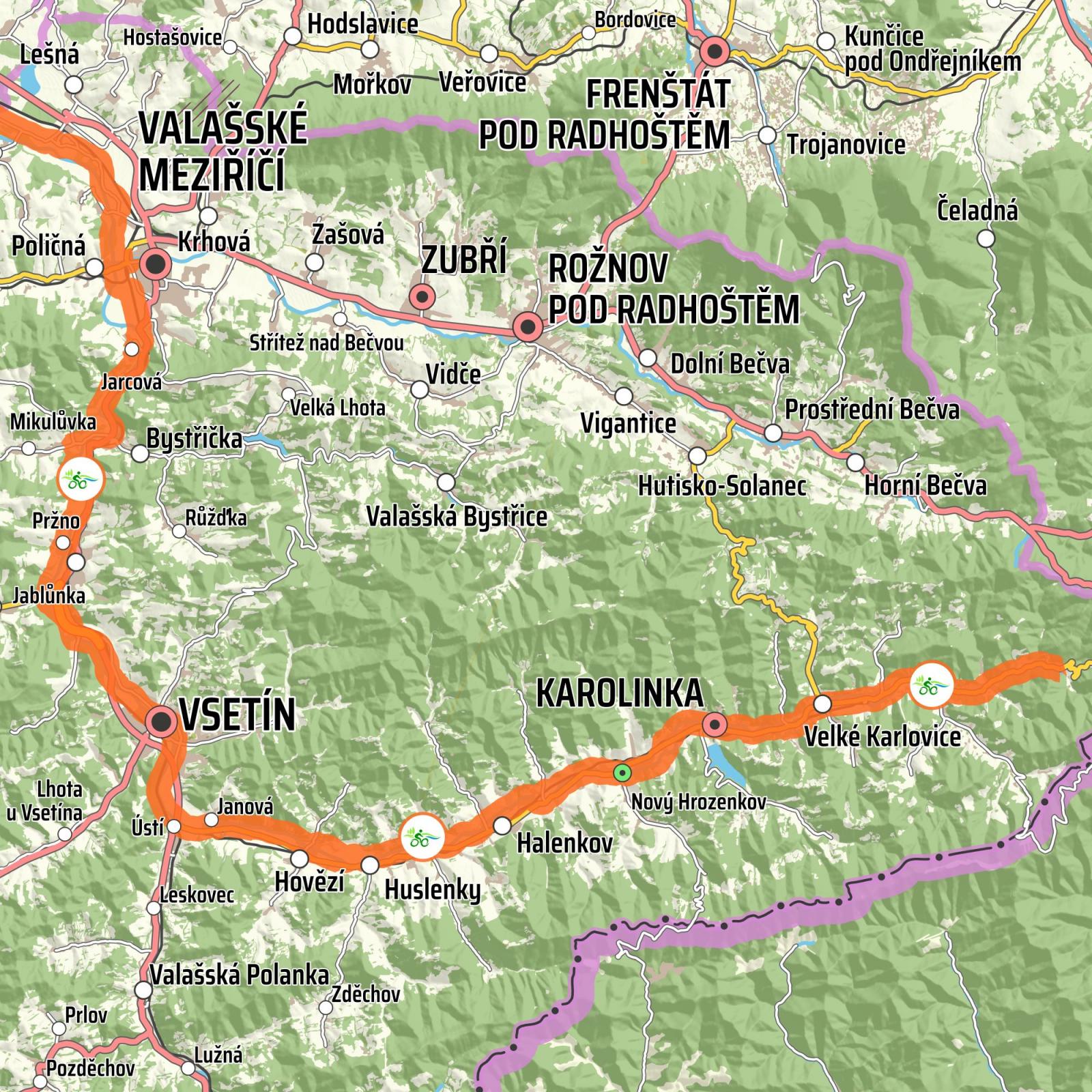
Vsetínská Bečva
From Velké Karlovice to Valašské Meziříčí
The total length of the section is 56.8 km. The route starts at an altitude of 650 metres; the destination is at a height of 291 metres above sea level. The total elevation is 359 metres: the total ascent is 421 m; the total descent is 780 m. Most of the route leads along a cycle path from which car traffic is excluded. The section from Vsetín to Velké Karlovice (approx. 30 km) is also suitable for roller-skating.
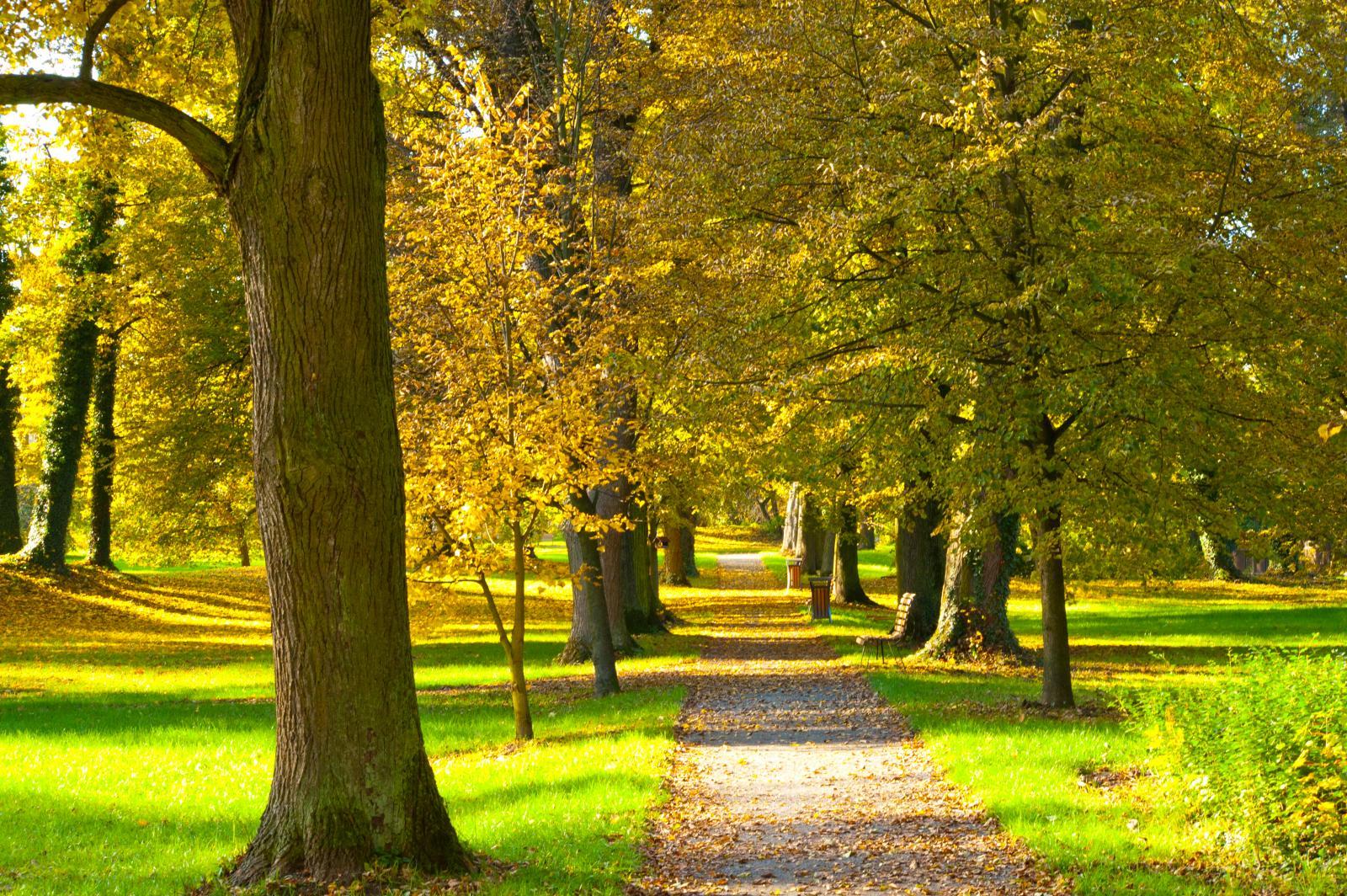
The trail starts above Velké Karlovice and leads cyclists along a path with a new and flat surface. It is surrounded by mountain ridges and forests. Between Karolinka and Nový Hrozenkov, the Balaton reservoir, with stands serving refreshments, is an attraction, especially on summer days. The route allows cyclists to enjoy the surrounding countryside, because it is pleasantly downhill. The Beskydy landscape, with its picturesque buildings and grazing sheep, is enchanting. In Vsetín, you can refresh yourself and build up your energy for the last section of the trail. The trail follows the flow of the Vsetínská Bečva with only small deflections up to the confluence of the Vsetínská and Rožnovská Bečva.