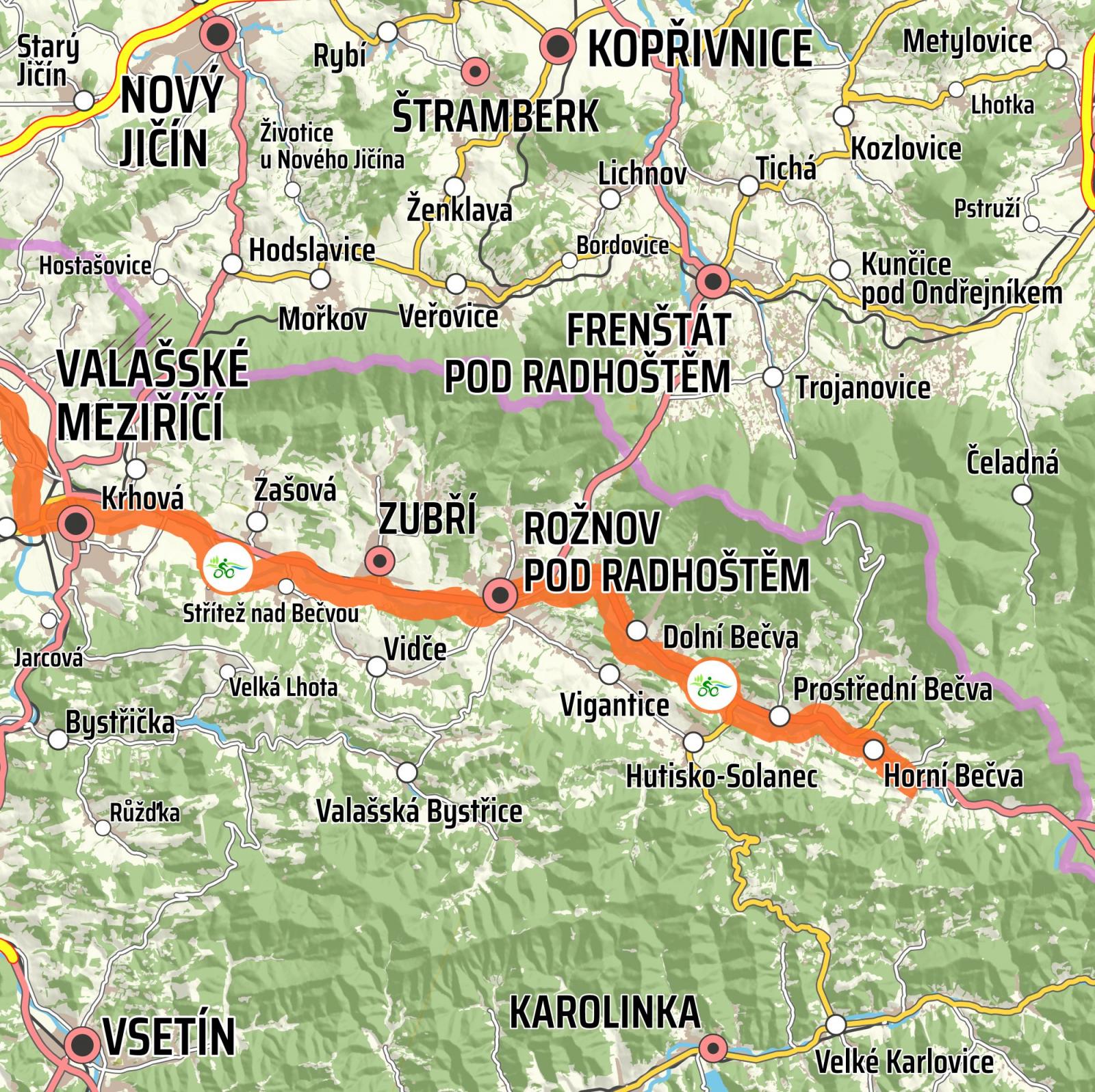
Rožnovská Bečva
From Horní Bečva to Valašské Meziříčí
The total length of the section is 30.8 km. The route starts at an altitude of 545 metres; the destination is at a height of 291 metres above sea level. The total elevation is 254 metres, the total ascent is 229 m, and the total descent is 483 m. Most of the route leads along a cycle path from which car traffic is excluded. The sections from Valašské Meziříčí to Rožnov and from Rožnov to Dolní Bečva (approx. 21 km in total) are also suitable for roller-skating.
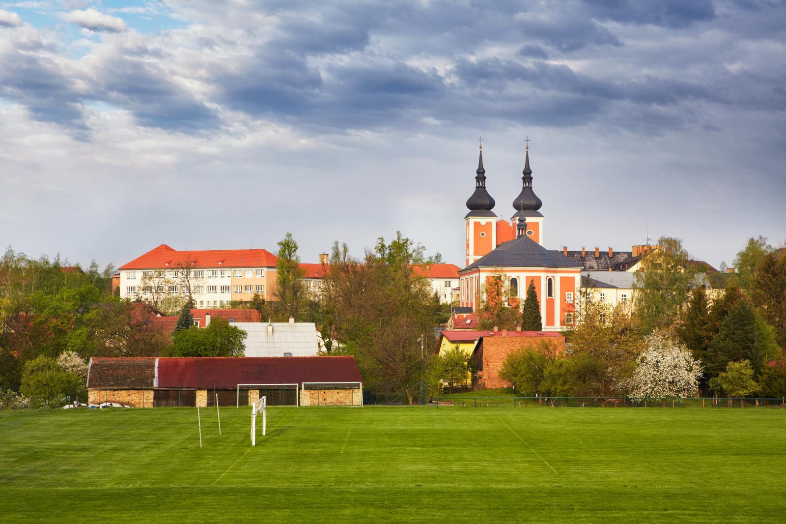
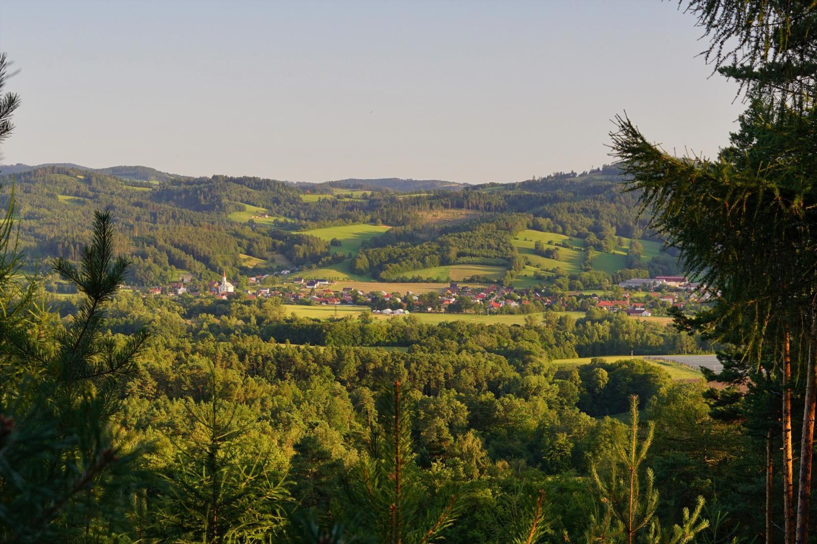
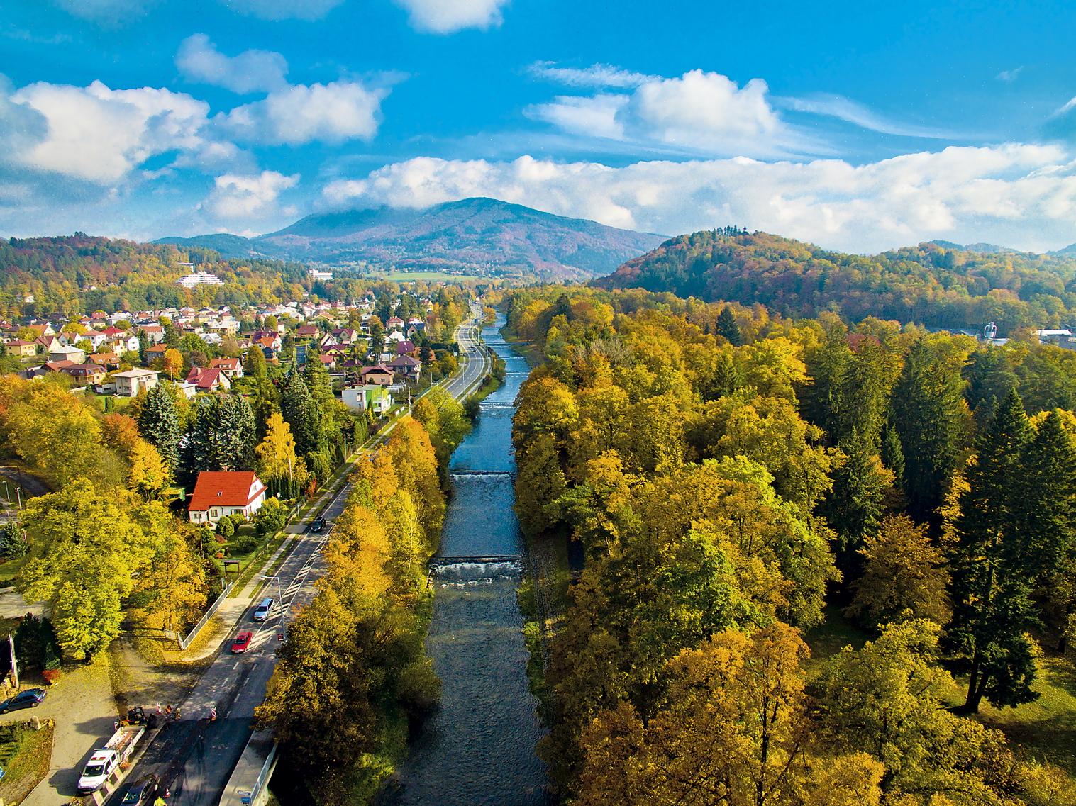
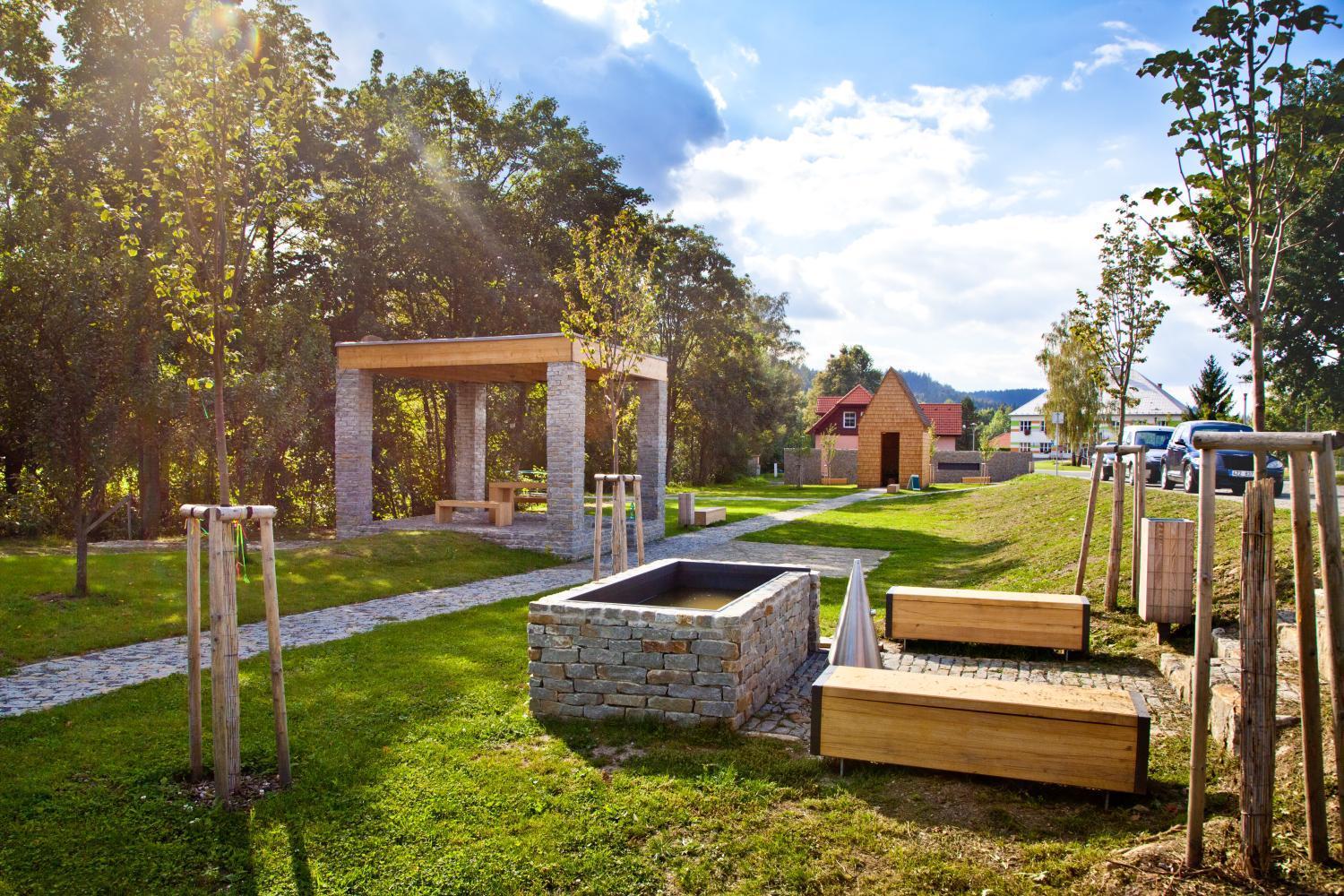
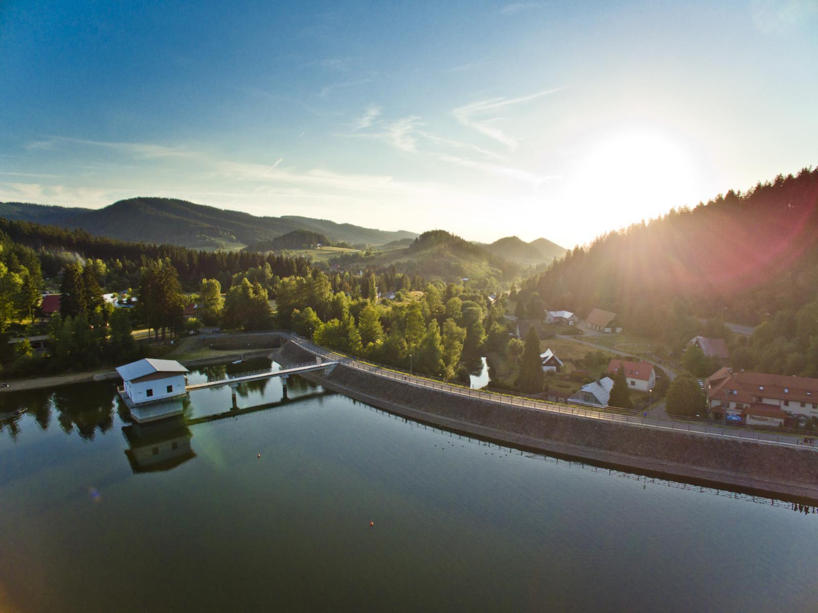
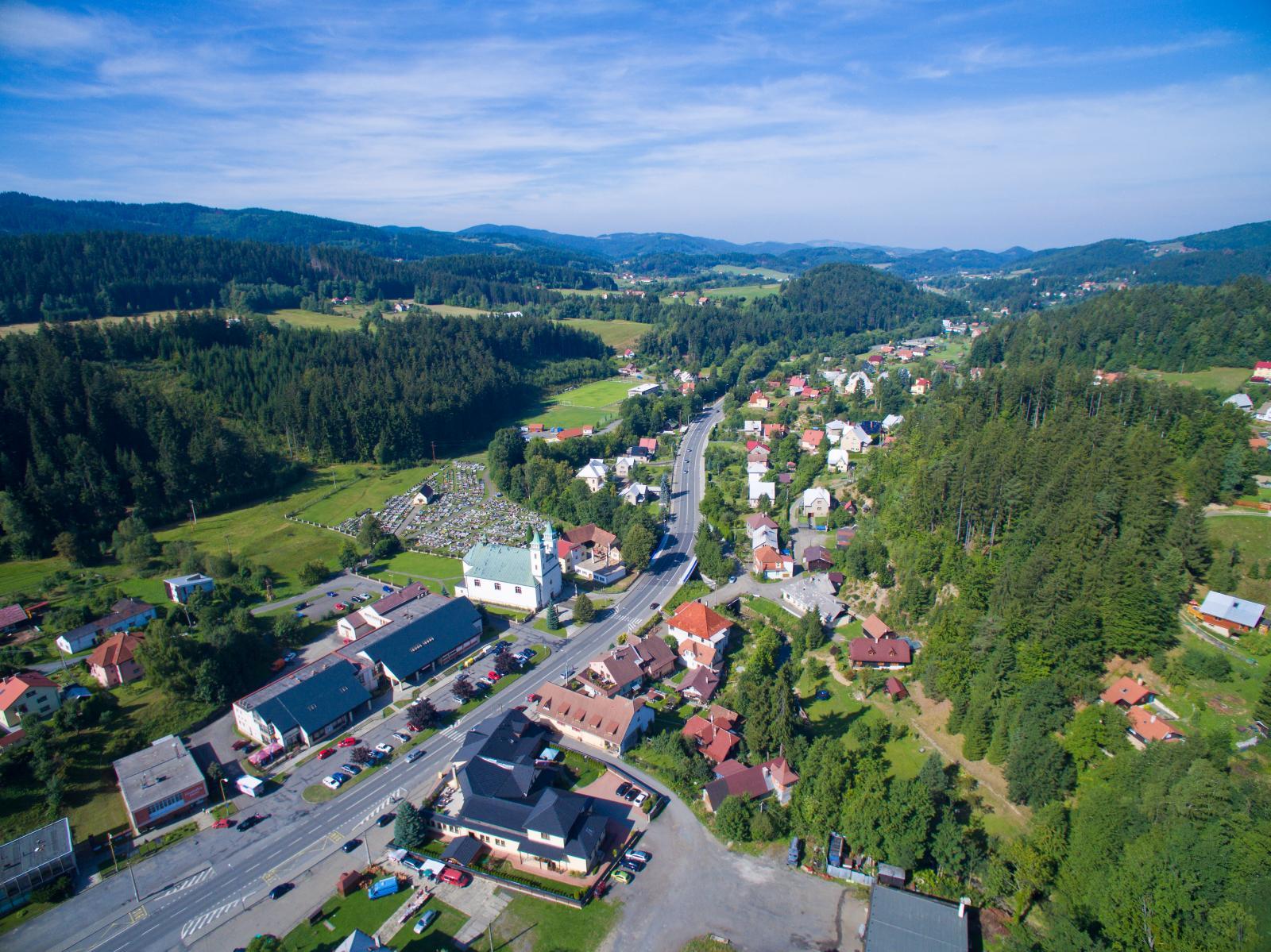
From Horní Bečva to Prostřední Bečva, the trail leads along the main road. But once you leave the main road, the ride becomes more interesting. It leads through a valley with views of the ridges of the Beskydy Mountains. The road is shaded by tall trees, so even in summer the ride is pleasant. Even in Rožnov, the trail leads along the Bečva embankment, away from the bustle of the town centre. The Rožnov open-air museum, the entrance to which can be found in the park that lines the trail, is definitely worth a stop. The landscape beyond Rožnov is already beginning to lose the picturesqueness of the Beskydy hills. The valley widens and the vegetation around the Bečva begins to take on the character of floodplain forests. Trees shade the trail and the ride is pleasant here even in the heat of summer. This section of the route ends in Valašské Meziříčí, which offers many opportunities for stops and refreshments.
Interesting places:
- Valašské muzeum v přírodě - Rožnov pod Radhoštěm
- Turistické informační centrum s půjčovnou kol - Rožnov pod Radhoštěm
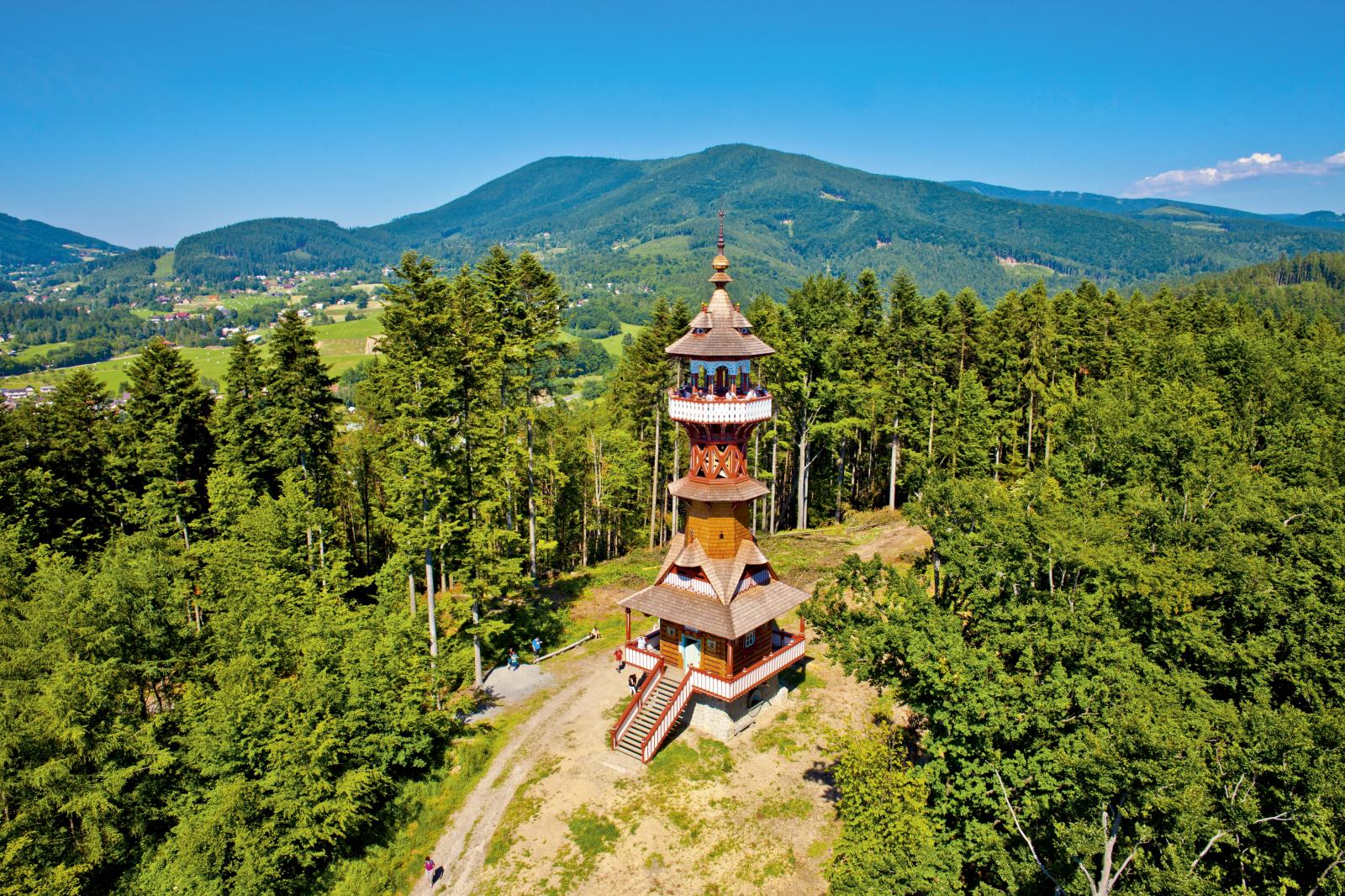
- Jurkovičova rozhledna - Rožnov pod Radhoštěm
- Venkovní koupaliště - Rožnov pod Radhoštěm
- Zámek Žerotínů - Valašské Meziříčí
- Muzeum regionu Valašsko - Valašské Meziříčí
- Muzeum řeznictví - Krásno nad Bečvou